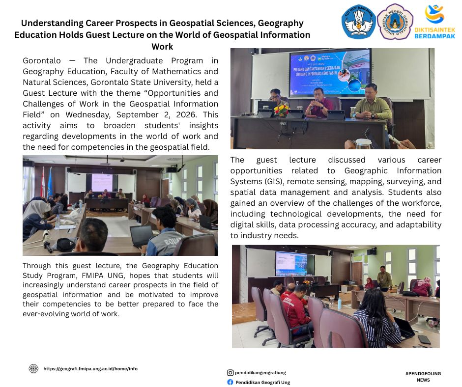
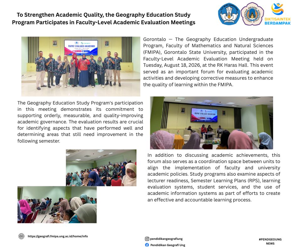
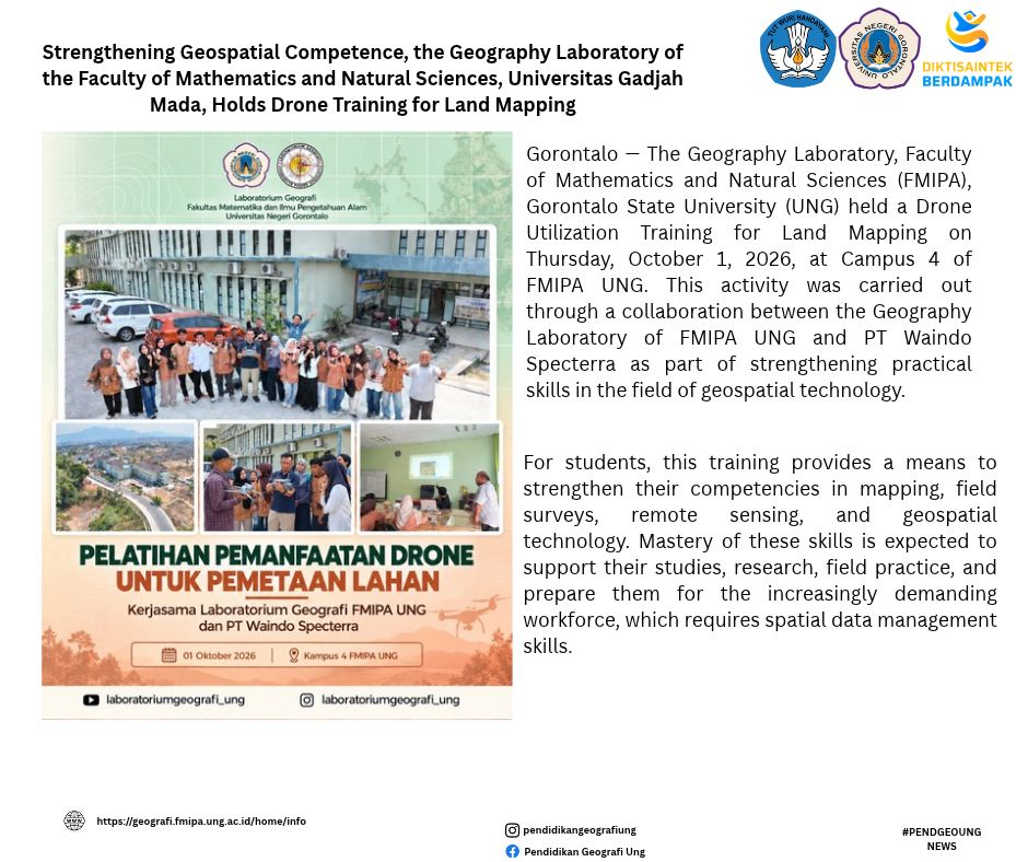
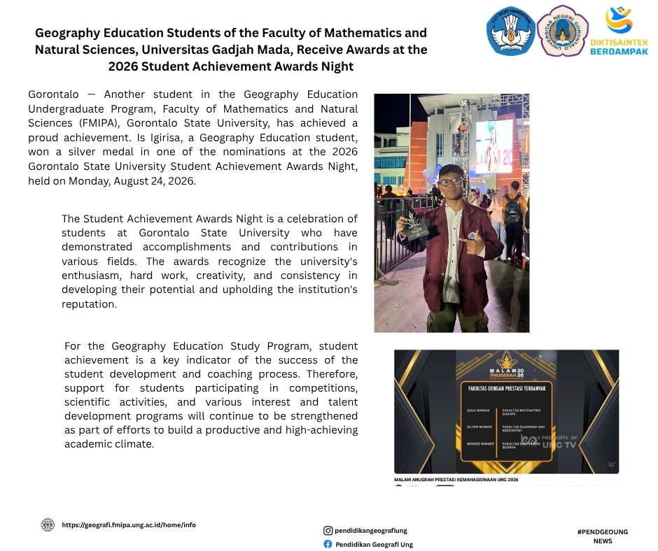
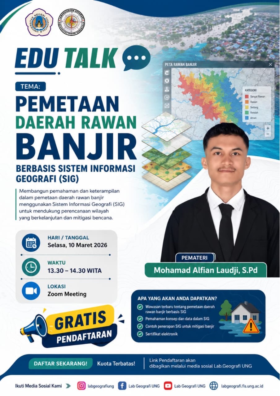
Gorontalo — The Geography Education Study Program held an EDU-TALK GEO Webinar with the theme "GIS-Based Flood-Prone Area Mapping" on Tuesday, March 10, 2026. This activity was held as part of strengthening student competence in the field of Geographic Information Systems (GIS) and disaster mitigation, especially in analyzing flood-prone areas through a spatial approach.
The webinar material discussed various factors that affect the occurrence of flooding, such as rainfall, slope slope, land use, drainage conditions, and watershed characteristics. Participants were also given an understanding of the process of spatial data processing, map interpretation, and the preparation of GIS-based flood vulnerability maps as a tool in disaster mitigation and decision-making.
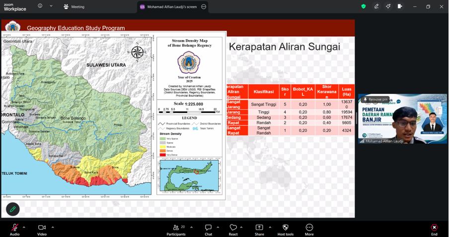
In addition, this activity emphasized the importance of integrating geospatial technology in supporting environmental management and disaster risk reduction. Students are invited to understand that GIS-based mapping not only functions as a data visualization, but also as an analytical instrument that can help the government and the community in regional planning and disaster mitigation efforts more effectively.
The current development of GIS technology makes disaster analysis faster, more accurate, and based on scientific data. Through this EDU-TALK GEO Webinar, the Geography Education Study Program hopes that students will better understand the application of GIS in disaster studies and have better spatial analysis skills. This activity is also part of the study program's commitment to supporting geography learning that is applicable, innovative, and relevant to the needs of the community and environmental challenges today.